This was a nice chase because it was very close to my route home, it cost me very little extra time and gasoline money. These storms also had better visibility than we usually get in Alabama this time of the year, so I got a few decent pictures and a video out of the experience. I really want to thank Andy Kula for his nowcasting support.

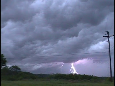
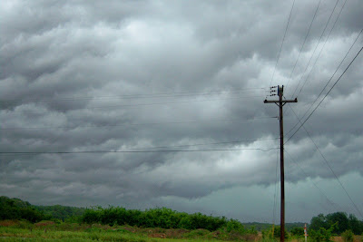
Approximately 4:45 pm, West of Tanner in Limestone County

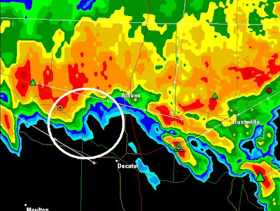
4:46 Hytop Nexrad

Approximately 4:45 pm, West of Tanner in Limestone County

Approximately 4:45 pm, West of Tanner in Limestone County

4:46 p.m., West of Tanner, Alabama.

5:06 p.m., Northwest of Decatur, Alabama

5:05 Hytop Nexrad

5:06 p.m., on the Tennessee River in Decatur, Alabama

5:06 p.m. Northwest of Decatur, Alabama

5:10 p.m, Looking North of Decatur.

5:10 Hytop Nexrad

5:13 p.m.

5:15 p.m.

5:17 p.m., Looking at the Hudson Memorial Bridge (US 31)

Approximately 5:30 pm, near Mooresville in Limestone County

5:29 Hytop Nexrad
Video from the chase....
Time lapse


No comments:
Post a Comment