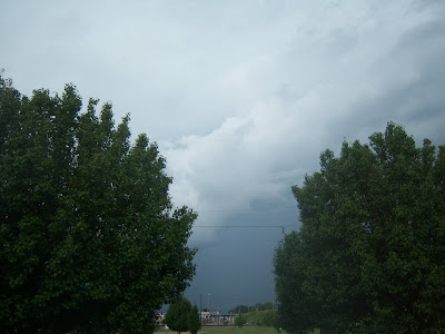
7/04/2001 - Thunderstorm in Chilton County, Alabama

7/04/2001 - Thunderstorm in Chilton County, Alabama

7/04/2001 - Thunderstorm in Chilton County, Alabama

7/04/2001 - Thunderstorm in Chilton County, Alabama

5/24/01 Hail storm on I-65.

5/24/01 Hail storm on I-65.

5/24/01 Hail storm on I-65.

8/18/2000 Severe Thunderstorm - Good Hope, Alabama

8/18/2000 Severe Thunderstorm - Good Hope, Alabama